

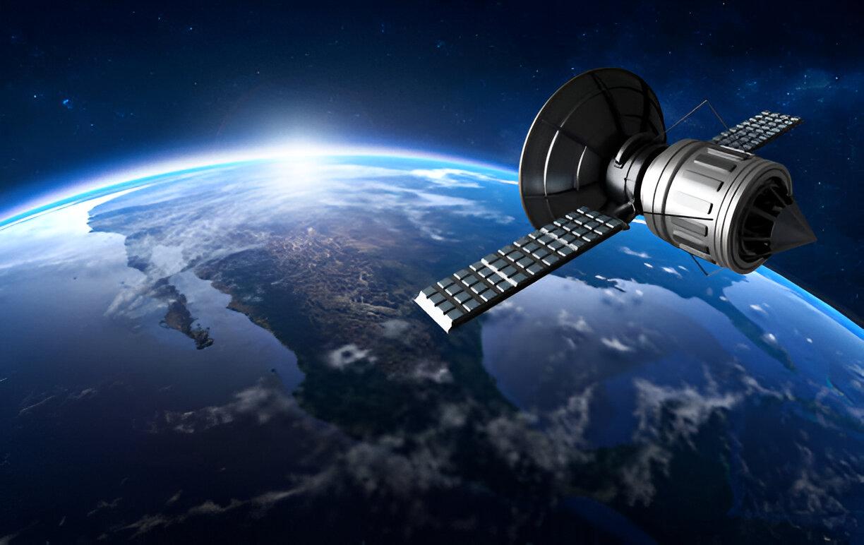
Sectors such as agriculture and disaster response have both been found to require increasingly live satellite information, yet commercially available real-time images are not actually obtainable.
Although the potential is massive, the ability to instantaneously monitor crops or respond before an emergency arises, there are technological challenges such as satellite orbits, speed of data transmission, and the amount of processing that must be done, which takes time.
The reality is a world of “near real-time” observation, where cutting-edge systems deliver updates within hours rather than minutes. This exploration examines the current state of satellite monitoring capabilities, the challenges operators face in speeding up delivery, and how emerging technologies are shrinking the gap between image capture and actionable insights about our changing planet.
We have all seen those stunning Maxar/ Maxar technologies satellite images – crisp, colorful, and detailed enough to spot a parked car from space. But here is the catch: not all satellite imagery is created equal. Companies like OnGeo Intelligence know this well, carefully selecting the latest Maxar satellite data to ensure their reports show reality, not based on the news of yesterday.
The truth? Satellite imagery can be the secret weapon of your map, or its Achilles’ heel. Let us explore when it shines and when it falls short.
The Superpowers of Satellite Imagery
When done right, satellite views:
- Show scale like nothing else – A single Maxar imagery frame can reveal an entire sprawl of the city or a true reach of wildfire
- Tell time-lapse stories – Perfect for tracking deforestation or urban growth over the years
- Make data feel real – There is nothing like seeing your neighborhood from space to drive a point home.
When Satellites Miss the Mark
But imagery has its pitfalls:
Outdated Views
- A 2-year-old image may not show the new highway or housing development
- Critical for disaster response where fresh intel saves lives.
Misleading Perspectives
- Lush greenery in drought-stricken areas (satellites do not show dry soil under dense canopies)
- Cloud cover hides critical details when you need them most.
Resolution Roulette
- Low-resolution images missing key details, like damaged roofs after a storm
- Overly crisp images overwhelm viewers with unnecessary detail.
Choosing Your Imagery Wisely
The best maps balance:
- Recency – How old is too old for your purpose?
- Resolution – Do you need to see cars or just city blocks?
- Context – Does this image actually support your narrative?
For urban planners tracking growth or insurers assessing storm damage, Maxar satellite products often hit the sweet spot between detail and coverage.
The Future of Map-Making
As constellations grow and refresh rates improve, we are entering an era where:
-
- Weekly (or even daily) updates become standard
- AI automatically flags changes between images
- Hybrid maps are mixtures of satellite images and ground information.
The next time you want to include some imagery on a map, ask the question: Will this make my message more understandable or just look nice? The difference could determine whether your audience gets the full picture – or misses it completely.